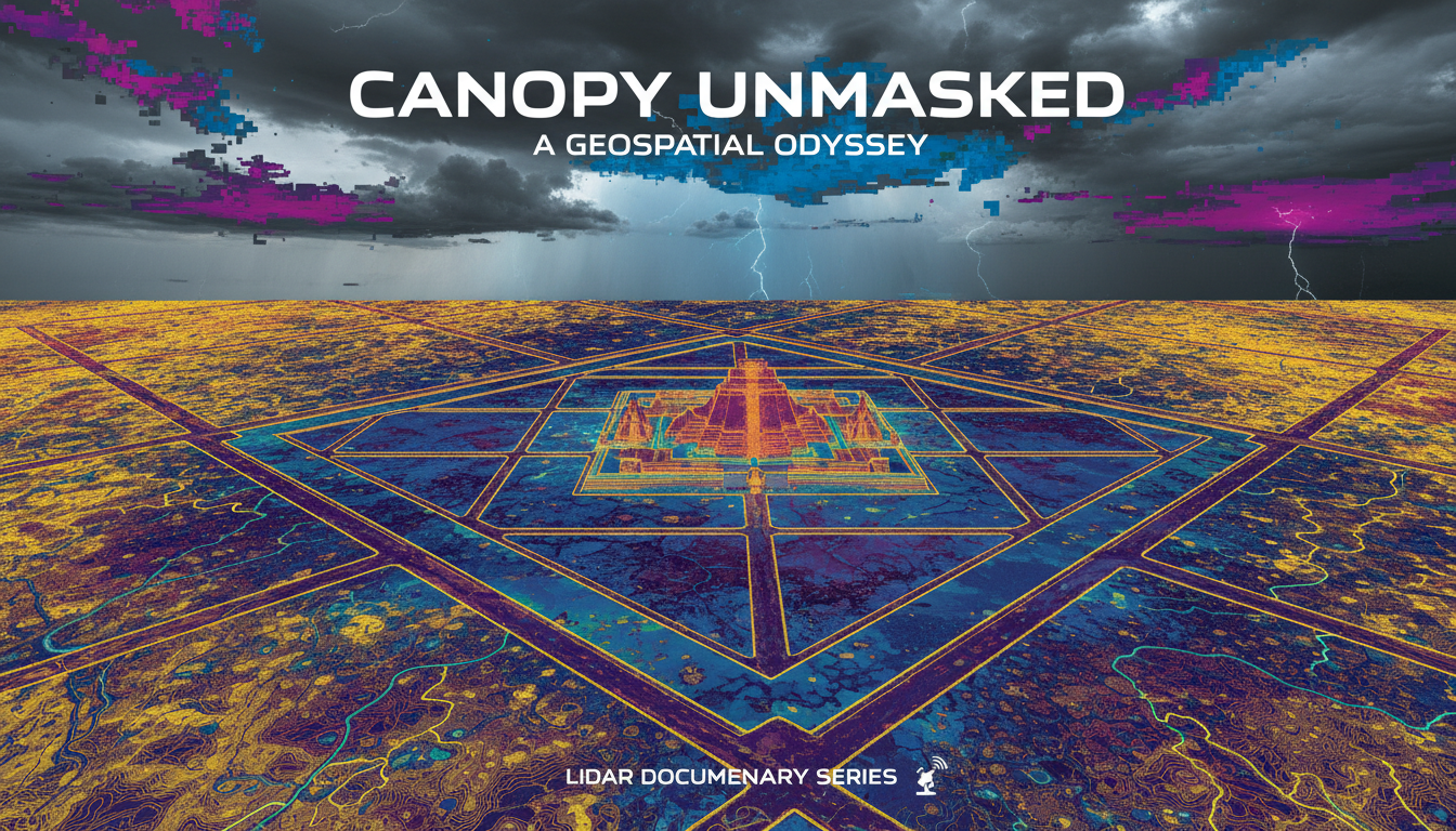
For more than a century, visitors and scholars knew Angkor first as stone: Angkor Wat, the Bayon, the gated cities and barays that still break the forest canopy near Siem Reap. What stayed soft was the residential and infrastructural fabric between those monuments—the ponds, canals, occupation mounds, and road grids that made a capital work. Since the 1990s, French, Australian, and Cambodian teams mapping with survey and NASA/JPL radar, then with airborne lidar in 2012, have filled that gap. Damian Evans, Roland Fletcher, Christophe Pottier, and APSARA partners showed greater Angkor as a vast low-density urban complex stitched by water management—the hydraulic city reassessed with instruments, not vibes. This Archive file is documented remote-sensing archaeology under UNESCO World Heritage stewardship.
From Temple Silhouette to Settlement Map
The older popular picture treated Angkor as a succession of neatly bounded temple cities. That picture matched what cameras could see above vegetation. It undercounted what people actually built across the floodplain. The Greater Angkor Project’s comprehensive map, published in Proceedings of the National Academy of Sciences in 2007, covered nearly three thousand square kilometers and traced a water-management network spanning more than a thousand. The claim that followed—largest preindustrial settlement complex—rested on mapped features and ground verification, not on mystique. Anthropogenic landscape change at that scale created both abundance and long-term risk.
PNAS/PMC Evans et al. 2007: https://pmc.ncbi.nlm.nih.gov/articles/PMC1913552/.
2012 Lidar: Seeing Through the Canopy
Dense forest over the ceremonial core still hid topography that radar and surface survey could not fully resolve. In 2012 the Khmer Archaeology LiDAR Consortium flew airborne laser scanning across central Angkor, Phnom Kulen, and Koh Ker. Evans and colleagues’ 2013 PNAS paper reported high-precision digital elevation models of the ground beneath vegetation. Gridded occupation, formal roads, ponds, and engineered surfaces appeared around temples that tourists already knew by name. The lidar did not invent Angkor. It made the urban grammar legible at last: temples as nodes inside extended settlement, not isolated jewels in empty jungle.
PNAS/PMC Evans et al. 2013: https://pmc.ncbi.nlm.nih.gov/articles/PMC3732978/.
Angkor Wat Inside a City
A follow-on Antiquity study used the same 2012 data to redefine the landscape of Angkor Wat itself. Enclosure interiors and surroundings resolved into twelfth-century spatial structure precise enough for population and engineering models. Conventional compact-rectilinear “temple city” cartoons lost empirical ground. Documented filing keeps that reassessment on the urban-planning spine: lidar as method, Khmer hydraulic engineering as subject, APSARA collaboration as custody context.
Antiquity Angkor Wat redefined: https://www.cambridge.org/core/journals/antiquity/article/landscape-of-angkor-wat-redefined/F3F0731A514E338A76DA8A906458A890.
Hydraulic City: Yield, Resilience, Fragility
Seasonal rainfall in inland Cambodia is sharp and uncertain. Angkor’s canals, reservoirs, and distributors stabilized water for rice and for an increasingly urban population less tied to field labor alone. Scholars still argue how much surplus the system could force in good years versus how much resilience it bought in average years. What lidar and mapping clarified is interdependence: infrastructure that enabled growth also created cascading failure modes. Science Advances modeling by Penny and colleagues treats fourteenth–fifteenth-century climatic variability as stress on that network—decline as systemic vulnerability, not a single mysterious abandonment day. APSARA Authority collaboration and UNESCO List 668 paperwork situate the science inside Cambodian heritage management. Fletcher, Pottier, and Evans’s long-running Greater Angkor work had already argued that the monuments make little economic sense without the surrounding agro-urban carpet; lidar made that carpet impossible to treat as speculative shading on a tourist map. Collapse, when it came, looks less like a sudden curse on stone and more like networked infrastructure losing coherence under drought, flood pulses, and political strain—an argument still being refined, not a closed morality play.
Science Advances demise/vulnerability: https://www.science.org/doi/10.1126/sciadv.aau4029.
UNESCO Angkor List 668: https://whc.unesco.org/en/list/668/.
UNESCO Angkor documents: https://whc.unesco.org/en/list/668/documents/.
UNESCO Stewardship and Tourist Myth
List 668 and its documents hub are the international paperwork doors: nomination values, conservation reporting, committee language. APSARA National Authority manages the living archaeological park where lidar flights and ground teams must negotiate tourism, looting risk, and forest cover. Documented filing does not sneer at visitors who come for Angkor Wat’s sunrise. It insists the sunrise temple sits inside a mapped hydraulic city whose canals and housemounds are as archaeological as the galleries. Lost-civilization captions that treat the forest as erasing a people invent mystery where survey lines already exist. Khmer urban history is the subject; instruments are the method.
Earlier hydraulic-city debates—whether Angkor’s water network primarily irrigated surplus rice or mainly displayed royal control—do not vanish because lidar arrived. They sharpen. Once residential density and canal topology are measured, models of food security, labor, and climate stress become testable against maps rather than against temple plans alone. The 2007 radar-era map and the 2013 lidar paper are sequential instruments on the same research program, not rival religions of remote sensing.
What Documented Settles
Settled for documentary purposes: greater Angkor includes extensive low-density settlement and water infrastructure beyond the famous temples; 2007 mapping and 2012–2013 lidar peer papers are primary method doors; UNESCO inscription and documents frame international stewardship; decline research increasingly models infrastructural–climatic coupling. Still open as research detail: fine-grained demography, exact failure sequences at every node, and how political factors weighted against hydroclimate. Those open questions do not reopen alien contractors or “temples without a city” folklore.
The tension that remains is canopy versus map. Tourist cameras see stone. Lidar and WH dossiers show a working hydraulic metropolis and the costs of its success. Angkor after lidar is that reassessment—read with Evans PNAS doors, Antiquity, Science Advances, and UNESCO List 668 open.