
Poverty Point and the Denial of Indigenous Monumentalism
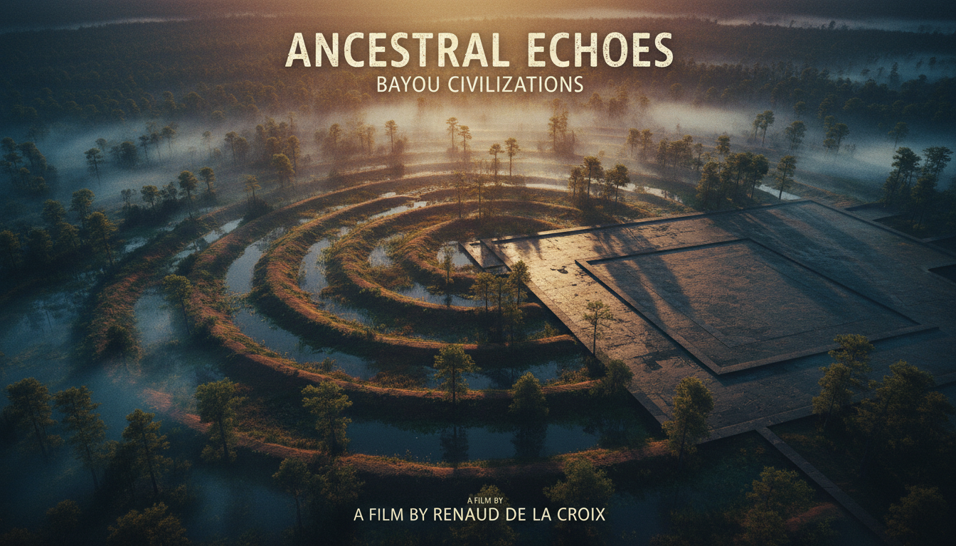
On the Macon Ridge in West Carroll Parish, Louisiana, six concentric semi-elliptical ridges curl around a plaza. Mound A rises like a manufactured ridge inside a hunter-fisher-gatherer world. UNESCO inscribed the Monumental Earthworks of Poverty Point in 2014. The dirt was always Indigenous. The historiography often was not.
Earthworks Without Maize Empires
Standard dating places Poverty Point's peak roughly 3700–3100 BP. Builders moved staggering volumes of earth—Mound A alone is cited near 238,500 m³ in some estimates—without the maize chiefdom template later writers assumed monumental labor required. T. R. Kidder, Jon Gibson, A. Ortmann, and colleagues documented staged construction, plaza planning, and a continental raw-stone exchange network that tied the lower Mississippi valley into a wider Archaic world.
The 2023 Antiquity paper "Convergence at Poverty Point" revises chronology and gathering dynamics. NPS World Heritage materials explain why the site cleared the 2014 listing bar: landscape engineering at Archaic scale, not a footnote mound group.
Colonial Denial Patterns
Nineteenth- and early twentieth-century antiquarians often treated large North American earthworks as too advanced for Indigenous builders without a "lost race," wandering outsiders, or other non-Indigenous authors. Poverty Point sits inside that denial tradition even when the specific site entered research later. The comparative Archive structure is Great Zimbabwe's colonial misattribution—same doubt pattern, different continent.
Modern archaeology's answer is deliberately unglamorous: schedule, labor, exchange, ritual landscape. No Atlantis. No astronaut survey crew.
Leadership Without the Cartoon Chief
Poverty Point research has long debated how much ranked hierarchy the ridges imply. Some readings stress communal gathering and corporate labor more than palace elites. That debate is internal to archaeology. It is not an invitation to invent foreign master builders.
What the Dirt Settles
Documented: ridges, mounds, UNESCO dossier, Antiquity chronology, Indigenous construction. Fringe: ancient-astronaut or lost-white-race authorship.
The record settles that hunter-fisher-gatherers built a World Heritage monumental landscape in the lower Mississippi valley. It does not require ranked maize states to explain the dirt. Off-world engineer stories remain optional and unsupported.
Comparative North American mound research—from Watson Brake's earlier Archaic complex to Cahokia's later urban peak—shows Poverty Point is not an orphan anomaly. It is a dated node in a longer Indigenous monumental sequence that colonial frameworks kept underdescribing.