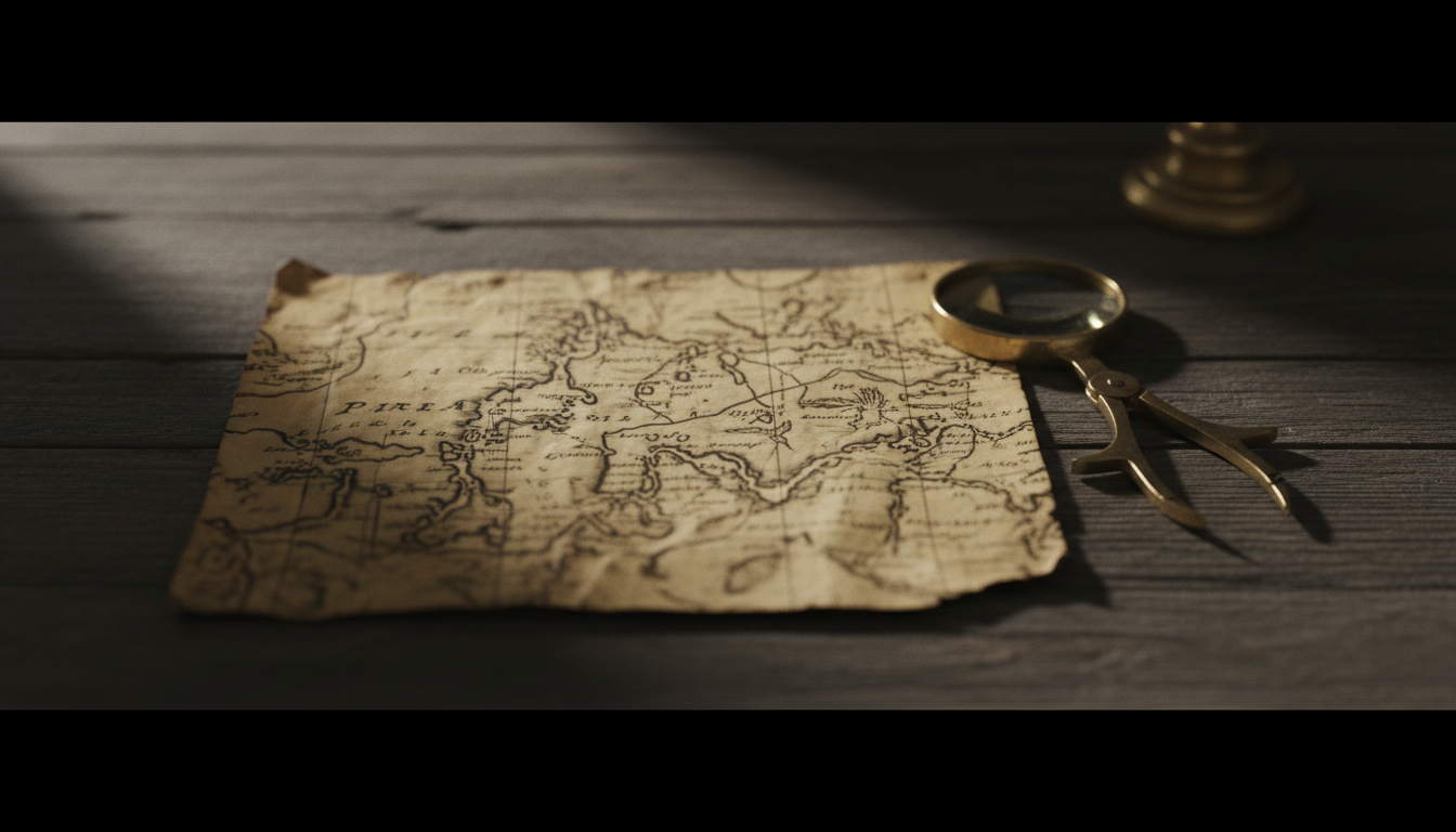
A fragment of gazelle skin in the Topkapı Palace library carries a 1513 Atlantic chart signed into Ottoman cartographic history by the admiral and geographer Piri Reis. UNESCO’s Memory of the World Register lists the piece as documentary heritage. Popular captioning treats the same southern coastline as proof of ice-free Antarctica or lost high-civilization survey data. This Archive file stays contested. It maps the palace map’s compilation culture and the modern ancient-source reception without baptizing Atlantis coastlines as settled geography.
The Fragment at Topkapı
The surviving sheet is not a complete world globe. It is a portolan-style fragment showing western Europe and Africa, the Atlantic, and portions of the Americas as sixteenth-century Mediterranean navigators could assemble them. Ottoman notes on the map itself discuss source charts, including material linked to Columbus-era Iberian information. That self-accounting matters. The object presents as a compilation product of the Age of Discovery’s knowledge traffic, not as a sealed prophecy tablet.
UNESCO Memory of the World entry: https://www.unesco.org/en/memory-world/piri-reis-world-map-1513.
Turkey’s nomination dossier places the map in the Revan Köşkü collection under no. 1633, under the General Directorate of Cultural Heritage and Museums, with the Directorate of the Topkapı Palace Museum as custodian. Rediscovery narratives from the palace-museum conversion era of the 1920s, and the later scholarly announcements associated with Deissmann and Kahle, belong to that custody chain. The dossier’s identification language is bureaucratic on purpose: owner, address, collection number, provenance.
UNESCO MoW nomination PDF: https://media.unesco.org/sites/default/files/webform/mow001/turkey_world_map_piri_reis_en.pdf.
Bahriye Neighbor, Not a Lone Marvel
Piri Reis’s larger navigational corpus is the Kitab-ı Bahriye, the Book of Navigation—portolan charts and sailing directions for the Mediterranean and beyond. Museum manuscripts of that work, including the Walters Art Museum’s W.658 and Library of Congress holdings in the same tradition, show an admiral who gathered coasts, harbors, and islands into usable books. The 1513 fragment sits beside that practice. Reading it only as an anomalous Antarctica screenshot strips away the Ottoman chartmaking culture that produced it.
Walters Kitab-ı Bahriye W.658: https://art.thewalters.org/object/W.658/.
Library of Congress Book on Navigation: https://www.loc.gov/item/2021667235/.
Palace Custody and Display Discipline
Modern display is intermittent and conservation-minded. National Palaces and the state museums portal frame Topkapı as a managed heritage complex, not a free-for-all relic vault. Heat, light, and humidity limit how often a 1513 skin map can sit under visitor lights. That management gap feeds rumor when the sheet is off view. It is also ordinary museum practice for a fragile unique.
Milli Saraylar (National Palaces): https://millisaraylar.gov.tr/en.
Topkapı on muze.gov.tr: https://muze.gov.tr/muze-detay?museum=topkapi-palace-museum&SectionId=TPK01&DistId=TPK.
The Popular Claim
Twentieth-century alternative cartography, especially after Hapgood’s mid-century readings, treated the southern landmass as an ice-free Antarctic coast supposedly surveyed before modern discovery. Later paleocontact and Atlantis media amplified the claim: ancient high technology, forgotten empires, or nonhuman mapping. The claim’s power is visual. A cropped coastline plus a confident caption outperforms a footnote about Iberian source charts. Reception history is real. Contested filing records that millions met Piri Reis first through Antarctica rhetoric, not through the MoW dossier.
The popular claim remains culturally active. Contested filing means the page does not erase it. It also means the page does not promote ice-free Antarctic survey ships to settled historical geography.
Why the File Stays Contested
Settled enough for documentary purposes: a 1513 Ottoman fragment exists; Topkapı holds it; Memory of the World recognition and Turkish nomination paperwork describe custody and identification; Piri Reis’s Bahriye tradition is a documented cartographic corpus. Not settled as historical fact on this page: that the sheet encodes a scientific survey of ice-free Antarctica, or that Atlantis supplied the base maps.
Specialist cartographic history reads portolan conventions, source amalgamation, and early modern Atlantic knowledge. Fringe captioning reads secret antiquity. The Archive’s job is not to run a courtroom for either slogan set. It is to keep the palace fragment, the MoW register, the Bahriye manuscripts, and the Antarctica reception on one shelf—so readers can see where museum paperwork ends and caption begins.
Archive Siblings
Other “impossible map” files and paleocontact cartography claims belong beside this one as reception studies. They do not merge into a single “ancient global survey proven” stack. The Walters and Library of Congress Bahriye doors keep Piri Reis inside Ottoman navigational book culture even when viral posts refuse that frame.
Iberian Sources Versus Ancient Revelation
Piri Reis’s own map notes point toward compiled European Atlantic charts circulating after Columbus, not toward a sealed prehistoric survey bureau. That self-description is the strongest internal brake on Atlantis readings. Contested filing keeps the admiral’s stated method in view whenever captions invent older authors the skin does not name.
What Remains Open
Palace and UNESCO doors settle prestige and identification. They do not settle every coastline identification debate that popular literature attaches to the southern edge. Asserting Atlantis survey ships would overclaim the skin. Erasing the popular claim’s cultural power would falsify how most viewers now encounter the name Piri Reis.
The tension that remains is institutional versus caption. Officials present a Memory of the World portolan fragment from an Ottoman admiral’s workshop of sources. Alternative media present a window into forbidden prehistoric geography. The Piri Reis map is that double life—read with the MoW nomination and Bahriye manuscripts open, and with Antarctica slogans left labeled as claim.