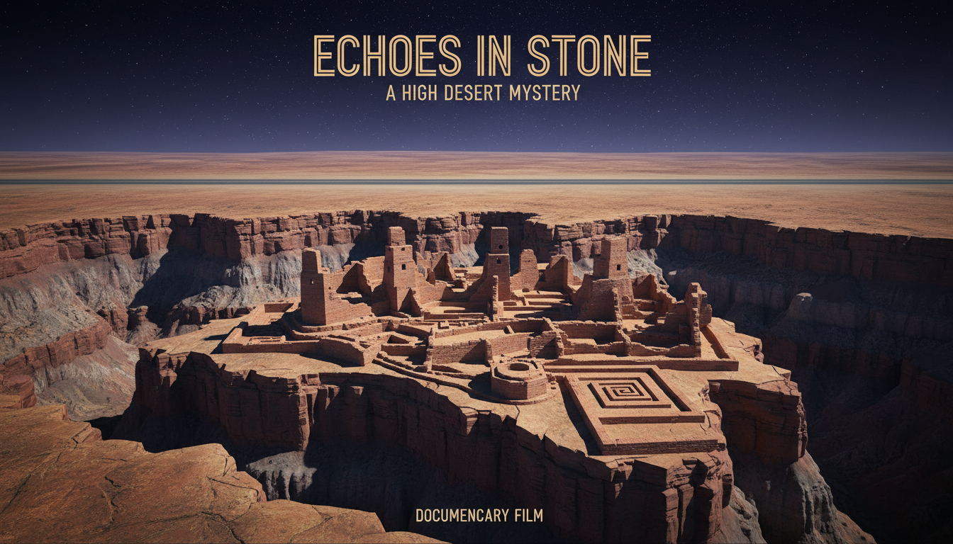
In the high desert of northwestern New Mexico, Chaco Culture National Historical Park protects great houses, kivas, and a landscape cut by formal prehistoric roads. From about 850 to 1250 CE, Ancestral Pueblo communities raised monumental masonry complexes in Chaco Canyon and tied them to more than a hundred regional great houses. The National Park Service describes engineered roadways—about fifteen feet wide in the canyon, often near thirty feet toward outliers—running with striking straightness across basins and mesas. Many buildings appear oriented to solar, lunar, or cardinal referents; Fajada Butte’s “Sun Dagger” petroglyph became a public emblem of Chacoan skywatching. This Archive file is contested at L1 clearance: the road system is documented heritage engineering; how far archaeoastronomy should explain the whole Chaco phenomenon remains argued.
Documented Roads, Debated Jobs
NPS interpretation stresses that Chacoan roads are remarkable from a modern perspective: carefully engineered, unusually wide for a society without wheeled vehicles or pack animals, and often aimed at landscape features or other great houses rather than continuous freight corridors. Some segments begin at an outlier great house and run only a short distance, which park prose and archaeologists read as symbolic connection as much as daily transport. Comparisons to later Pueblo sacred trails—Zuni and Acoma pilgrimage routes among them—enter the functional debate without collapsing past into present. Trade in pottery, turquoise, macaws, and copper bells still needs pathways; ritual choreography can share the same berms. Contested filing keeps both jobs on the page.
NPS Chacoan Roads: https://www.nps.gov/chcu/learn/historyculture/chacoan-roads.htm.
NPS Chaco article: https://www.nps.gov/articles/chaco.htm.
Great Houses as Public Architecture
Park history pages note that canyon great houses may not have been ordinary farming villages packed year-round. They may have functioned as periodic public architecture for ceremony, commerce, and gathering when populations swelled. Roads then look less like interstate trucking and more like processional and connective infrastructure for a regional ceremonial economy. UNESCO List 353 frames the cultural landscape internationally. None of that requires aliens, lost white architects, or a single sky cult memo. It requires labor, masonry expertise, and political-religious imagination written in sandstone and packed earth.
UNESCO Chaco List 353: https://whc.unesco.org/en/list/353/.
Archaeoastronomy: Evidence and Edge
NPS “Archeoastronomy in Stone” gathers the careful public case: communities oriented settlements and buildings to mark seasonal cycles; Fajada Butte’s spiral petroglyphs once received dagger-shaped sunlight near solstices and equinoxes; a Peñasco Blanco pictograph is often discussed as a possible record of the 1054 supernova beside a crescent moon. Those are researchable claims with published and park-managed literature behind them. Overclaim begins when every wall angle becomes proof of a totalizing cosmic machine, or when night-sky tourist programs are treated as excavation results. Chaco’s Night Sky Program and dark-sky certification rightly celebrate exceptional astronomy viewing; they are interpretation and outreach, not a substitute for stratigraphy.
NPS Archeoastronomy in Stone: https://www.nps.gov/articles/000/archeoastronomy-in-stone.htm.
NPS Night Sky Program: https://www.nps.gov/chcu/planyourvisit/nightsky.htm.
Fajada Butte and Stewardship
Foot traffic shifted the Sun Dagger slabs; the site is closed to the public. Visitors view the butte from an overlook along the park road. That closure is conservation fact, not a secrecy plot. Indigenous nations traditionally associated with the landscape consult on park management. Contested filing respects living meaning without pretending every popular astronomy caption is peer-closed truth.
NPS Fajada Butte Overlook: https://www.nps.gov/places/fajada-butte-overlook.htm.
Roads, Outliers, and Scale
Park numbers commonly cited in NPS prose—hundreds of miles of prehistoric roadways, dozens of canyon structures, more than 150 regional great houses—mark a system, not a single canyon cul-de-sac. Outlier roads that point toward sacred landforms without continuous pavement to Chaco itself complicate any purely logistical reading. At the same time, discarding logistics entirely ignores evidence of long-distance exchange. Contested/L1 filing is exactly this fork: documented engineering on the ground; plural functions in the literature; astronomy as one powerful interpretive thread that becomes folklore when it claims monopoly. Building-wide cardinal grids and lunar standstill hypotheses have serious scholarly advocates and serious critics; this page does not pick a winner by sneer. It keeps the road berms and the sky arguments in the same dossier under park and WH doors.
Water control features, communication shrines, and mound platforms enter the same regional grammar. They remind readers that Chaco research is landscape archaeology first. Skywatching fits that landscape; it does not float above it as a separate science-fiction layer.
Why Contested/L1
Settled enough for documentary purposes: a major Ancestral Pueblo ceremonial and architectural center at Chaco; formal road network linking canyon and outliers; UNESCO and NPS stewardship; serious archaeoastronomy research on orientations and petroglyphs. Not settled as a single master key: that roads were only symbolic, only commercial, or that sky alignments exhaustively explain Chacoan politics. Alien survey folklore remains reception noise outside NPS/UNESCO doors. So do captions that treat every straight line on the Colorado Plateau as proof of a lost global survey corps. Straightness is a Chacoan engineering choice with local parallels and limits; it is not a license to flatten Indigenous history into a single cosmic conspiracy.
The tension that remains is engineered landscape versus cosmic overclaim. Officials document berms, great houses, and careful sky features. Viral captions sometimes sell Chaco as a finished star temple with a road-shaped wiring diagram. The file holds the NPS road dossier beside the astronomy debate—and refuses to let either erase the other. Read the berms as Indigenous engineered landscape. Read the Sun Dagger and building orientations as serious, unfinished arguments. Leave the cosmic monopoly captions and the alien survey corps where they belong: outside the UNESCO and NPS paperwork that actually steward the canyon.