
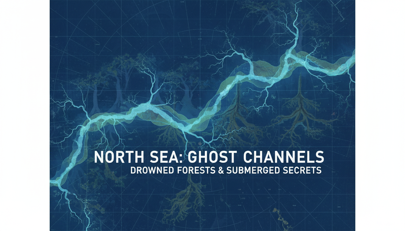
For a long time the southern North Sea could be described as empty water with a shipping problem. Fishermen pulled antler, bone, and flint up in their nets, and those pieces sat as curiosities: stray finds, no valley, no camp, nothing that forced a map. What had been land lay under one of the busiest seas in the world, and a flint without a deposit is easy to treat as an accident of the trawl. Seismic mapping and sediment cores broke that description. They showed river channels, a former coast, peat and drowned woodland, and, later, worked stone recovered because a survey had chosen the spot. They did not show Atlantis, and they did not show a drowned civilization. Neither is what the surveys found.
The name Doggerland belongs to that early Holocene country between Britain and the continent, inundated as the ice melted and the sea rose. Europe’s Lost Frontiers, the European Research Council project coordinated at the University of Bradford under Vincent Gaffney from December 2015 to November 2021, set out to map it from seismic data and to read its environments from cores, including ancient DNA in the sediments. The project’s final report to the Commission says about 185,000 square kilometres of early Holocene landscape were mapped, and that two coring campaigns produced 78 complete cores from 60 locations, the largest archaeological core set the report claims for the North Sea. Among the deposits were sediments tied to the Storegga tsunami, which the report calls the most significant single event to affect early Holocene Doggerland. Before this work, the same report says, evidence of people beyond the nearshore was chance discovery without an archaeological context. Directed fieldwork then recovered what the project calls the first prehistoric artefact prospected, rather than stumbled on, in a deep marine setting.
A University of Bradford account of a May 2019 survey with the Flanders Marine Institute, on the Belgian vessel RV Belgica, shows what that prospecting looked like in one season. Weather cut the time. Near Brown Bank the team confirmed a preserved early Holocene surface and brought up peat and ancient wood, read as a prehistoric woodland. Where a modelled river met an ancient sea, they recorded peat and flint nodules, with support from Lost Frontiers cores. Two artefacts came out of that ground: a small flint that may be knapping waste, and a piece broken from a hammerstone. In December 2020 Bradford returned to the same hammerstone, found off Norfolk, and to chance finds from Brown Bank. Gaffney stated the limit in that note: many thousands of people must have lived on these lands, but no settlement had been located, because the sea is an extreme place to work. The hammerstone was a step toward settlements, not a settlement. The same note dates the Storegga waves at 8,150 years ago, calls them catastrophic for people on the coast, and says they were not the end of Doggerland. Sea-level rise is the drowning. The tsunami is a blow struck during it.
The North Sea Prehistory Research and Management Framework, first published in 2009 by what is now Historic England with the Cultural Heritage Agency of the Netherlands, and later revised for the English sector, treats this as a landscape to be managed, not as a cabinet of stray curios. Its assessment north of the Wash credits the Mapping Doggerland work with recognizing a complex network of palaeochannels across the southern North Sea. Later mapping showed those channels changing from high-energy braided rivers at the end of the glaciation to more stable, sinuous rivers, then to estuaries, then to inundation. Deposits shift from cold open ground to freshwater marsh and bog with woodland, and then to brackish and saline water. Depending on local topography, that assessment says the region was flooded by the mid-Holocene, between about 9,000 and 5,000 calibrated years before present. It also says something a curiosity story cannot survive, and that a lost-city story cannot use: in that study area, no archaeological sites had been recorded, though a small number of faunal remains had come up through trawling and dredging. The rivers are documented. A street of houses is not.
That split is the correction. Industry seismic data, read for the old land surface rather than only for hydrocarbons, produced estuaries, rivers, wetlands, and a coast that is no longer a coast. Cores sampled the inundation. A flint flake and a hammerstone fragment show that people worked stone on that land. They are not a citadel or a king-list. A results-in-brief from the same European project puts a figure on the water: Gaffney describes sea level rising by as much as 120 metres as the ice melted, submerging coasts and erasing them from a record that had been written from dry land alone. The shipping lanes cover a Mesolithic country the sea took. They do not cover a myth the sea is hiding.
European Commission, CORDIS, final reporting for Lost Frontiers (grant 670518): https://cordis.europa.eu/project/id/670518/reporting.
European Commission, CORDIS, results in brief: https://cordis.europa.eu/article/id/436353-exploring-europe-s-lost-frontiers.
University of Bradford, May 2019 North Sea survey: https://www.bradford.ac.uk/news/archive/2019/the-first-archaeological-artefacts-found-during-the-search-for-lost-prehistoric-settlements-in-the-north-sea.php.
University of Bradford, December 2020 hammerstone and Storegga note: https://www.bradford.ac.uk/news/archive/2020/archaeologists-identify-area-likely-to-yield-evidence-of-settlements-under-north-sea.php.
North Sea Prehistory Research and Management Framework, introduction: https://researchframeworks.org/nsprmf/introduction/.
North Sea Prehistory Research and Management Framework, north of the Wash: https://researchframeworks.org/nsprmf/resource-assessments/regional-resource-assessment/north-of-the-wash/.
What Documented Settles
Settled on the project papers: an early Holocene landscape under the North Sea, called Doggerland, was mapped from seismic data; cores sampled its rivers and its drowning; peat, wood, and prospected flint show land, woodland, and stone-working; Storegga left a tsunami mark and was not, on Bradford’s 2020 account, the end of that land. Still open is where a settlement floor survives, and how densely people used any one reach of those rivers. That question is archaeological. It does not reopen the sea as empty, and it does not need Atlantis to make the landscape count.